| GIS Maps & Analysis | |
 Click on Map |
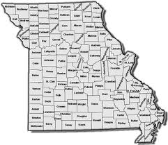
County MapsThese are County maps designed to display UCR crime statistics and meth lab data by individual counties for past years. County and Jurisdictional maps allow the viewer to view crime statistics locally. |
 Click on Map |
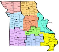
Troop MapsThese maps display UCR crime data for several past years at MSHP TROOP level. This level is slightly broader than county level maps giving the viewer the ability to see troop patterns. |
 Click on Map |
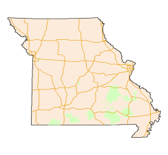
State MapsThis category of maps displays UCR crime data at statewide extent, which allows the viewer to analyze patterns at a state level. |
| Interactive Online Maps | |
 Click on Map |
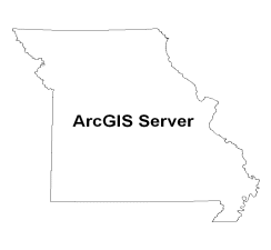
Traffic Crashes MapsESRI's (Environmental Systems Research Institute, Inc.) ArcGIS Server technology was used to create an interactive mapping viewer application that gives the user the ability to modify the viewing of the map by using tools like zooming in and out or by identifying a point's data elements (traffic crash GPS) on the map through a window pop-up. Also, there is a searching capability available. This capability uses a group of parameters in order to create a search criteria. This criteria is applied against the Traffic Crashes database and as a result, the map will be filtered and a table with data elements will be displayed below the map viewer. |