Home
| GIS Maps & Analysis | |
 Click on Map |
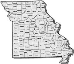
County MapsThese are County maps designed to display UCR crime statistics and meth lab data by individual counties for past years. County and Jurisdictional maps allow the viewer to view crime statistics locally. |
 Click on Map |
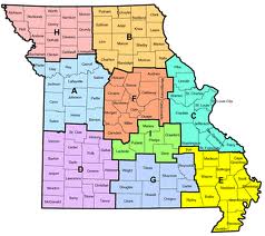
Troop MapsThese maps display UCR crime data for several past years at MSHP TROOP level. This level is slightly broader than county level maps giving the viewer the ability to see troop patterns. |
 Click on Map |
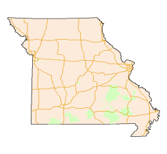
State MapsThis category of maps displays UCR crime data at statewide extent, which allows the viewer to analyze patterns at a state level. |